
Demanding Self-Guided Hike to the Bureto Summit
Demanding Self-Guided Hike to the Bureto Summit
Price From: 999€
Duration: 7 Hours
Departure Time: 08:00
Minimum Age: 12
Language: English
Category: Hiking
Hiking Grade: Challenging
Technical Difficulty: T4
Tour ID: S-GJ-HI-02
– Hike the wild limestone ridges of Bureto Mountain, where geology and history collide
– Discover abandoned military bunkers and relics from Albania’s isolation era
– Hike through karst terrain with natural sinkholes, ridgelines, and rugged plateaus
– Reach 1763 meters for panoramic views stretching from Gjirokastra to the Ionian Sea
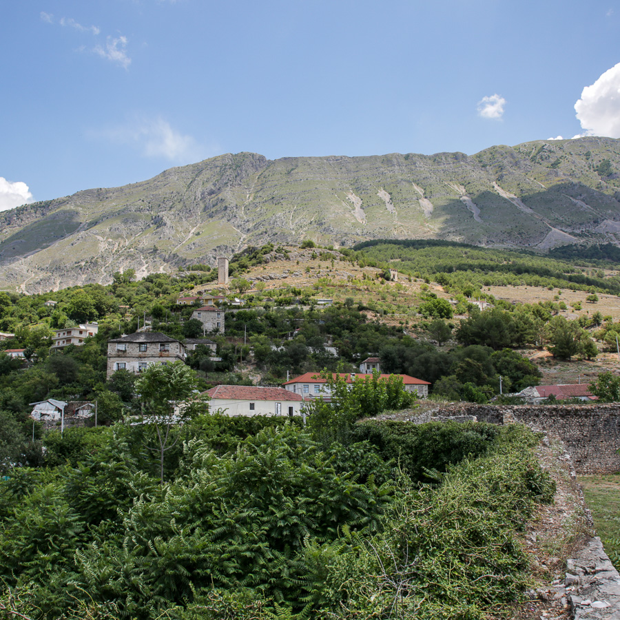
Bureto Mountain stands at 1763 meters along the Albanian-Greek border. Its broad, flat ridgeline is dotted with striking karst features, deep funnels, sinkholes, and porous stone formations that tell the story of ancient geological forces at work. Once a restricted military zone during Albania’s period of isolation, the mountain still carries traces of its guarded past, with scattered bunkers and outposts hidden among the rocks. It offers hikers extraordinary sweeping views across the Drinos Valley, the historic city of Gjirokastra, and, on clear days, even as far as Corfu across the Ionian Sea.
The hike starts from the upper part of the town of Libohova. The trail is very visible and hard to miss. At first, it leads in Eastern direction for a few hundred meters, then turns to the South running first through a meadow and then through a small forest. Then, it starts zig-zagging up to the saddle. There, the old tunnels built for military purposes during the Cold War are visible. The trail follows the ridgeline up to the summit, where you can find yet more bunkers and abandoned military installations.
You will follow the same trail to descend back to the starting point.
- Hiking Grade: Challenging
- Technical Difficulty: T4
- Total ascent: 1300 m
- Total descent 1300 m
- Distance: 15 km
- Time of the hike: 7 hours (Hiking time without breaks)
The price includes:
- Emergency telephone support during the hike
- Road Book App with detailed information and route descriptions in English
The price does not include:
- Other costs and services not mentioned in the program
- Guide
- Meals
- Transportation
- Any type of Insurance
This trail starts and ends at the town of Libohovë. You have to drive to the starting point of the hike yourself. Free parking is available nearby.
Orientation:
To assist you, we provide a detailed information package, including route descriptions, digital maps and information about transportation options. All this will be available in a dedicated mobile app, which you can download to your smartphone before your adventure.
While most hiking trails are signed, some markings may be unclear or difficult to see. Certain sections might not be well-marked, and poor weather can make navigation more challenging. Good navigation skills are necessary to ensure a safe and enjoyable experience.
Hiking Time, Grade and Technical Difficulty:
Our tour descriptions give detailed information about terrain, technical difficulty, estimated activity times, ascent/descent in meters and distance in kilometres. We kindly ask you to read these very carefully and consider them while choosing your tour.
The estimated difficulty of hikes is given in the SAC scale, starting from T1 to T6. These grades are guidelines that must always be used in conjunction with your own experience, intuition and careful judgment. Explanations for the difficulty scale can be found here.
Estimated hiking times are given for each day. These times do vary according to the day’s weather conditions and your fitness levels. These times do not include times taken for meals and breaks. The hiking times are all calculated in accordance with the Albanian national standard for hiking trails, which is based on the Swiss Alpine Club adaptation of the DIN44366 standard.
General Information:
- Confirmation will be sent within 48 hours of booking
- Not wheelchair or stroller accessible
- Not recommended for pregnant travellers
- Not recommended for travellers with heart problems or other serious medical conditions
- Travelers should have a moderate physical fitness level
- For any other request or question, please write to us here
Free cancellation at any time before app download. Once the app has been downloaded, cancellations are no longer possible.